Heritage Trout Challenge, Kern River, Little Kern River

Heritage Trout Challenge #8: Kern River Rainbow Trout

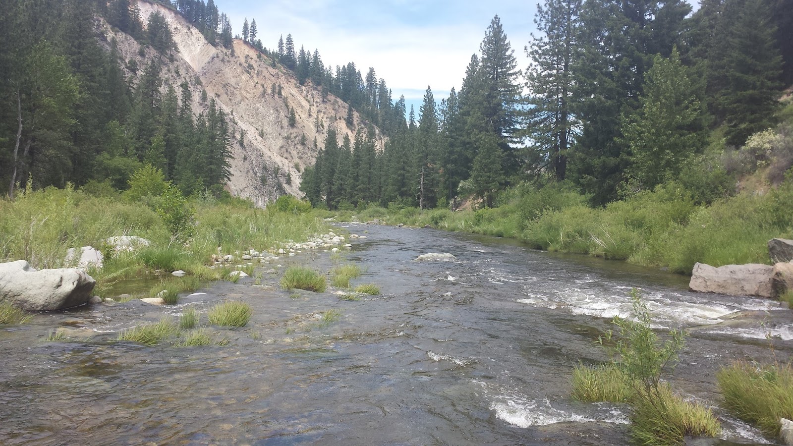
I had always planned on someday visiting the Little Kern River and Kern River however my ideas involved backpacking gear and time that I didn’t have. I recently took the plunge (down my wallet) and finally accumulated my first set of backpacking gear. I no longer had an excuse not to explore the area. Ever since I started the heritage trout challenge I’ve been fantasizing about a trip where I could fish the tributaries of the Little Kern for Little Kern goldens and then go further east to fish for the Kern River rainbows. As I started doing research for my new trip I was disappointed to learn that the access road to the tributaries of the Little Kern was closed for the year. The only option I had left was the Upper Kern.

The Kern River rainbow trout is a subspecies endemic to the Kern River and although poorly planned introductions of other strains of rainbow trout have introgressed and hybridized the Kern River rainbow trout’s genetics the entire section of the Kern River above Lake Isabella is considered heritage trout water. My research told me that the further upstream you venture the more genetically pure Kern River rainbows you would find. The Upper Kern above Johnsondale bridge is perhaps the most important and well-known section of the Kern River as it is the starting point of finding true Kern River rainbows. The section of the Kern River above Durwood Creek is said to be the best section to find purest Kern River rainbows and that was my destination.

Instead of making the grueling 6 hour drive to Johnsondale bridge I broke up the road-trip by couch surfing at my cousin’s place in Fresno. We fished the Lower Kings River below Pine Flat Dam in the put-and-take section and were disappointed with the results. It didn’t help that the water was warm, probably in the low 70s. This section of the Lower Kings truly does not fish well unless it is stocked. I’ve never fished a river so completely fished out. After several hours of not hooking a single trout (we caught a few pike minnows) we made our way downstream to the catch-and-release section. I had previously fished this section a few years ago and did well and was hoping that we’d had better luck there. In 10 minutes I caught more fish in the CNR section than I did fishing 4 hours at the put-and-take section. Please keep poachers away from this part of the Lower Kings, report all suspicious activities and poaching to DFG!

Early morning the following day I started the drive to the Upper Kern. I took M-50 going through California Hot Springs. The road was one of those go a bit too fast and plunge down a steep cliff type of roads, not my favorite. I drew a sigh of relief once I finally saw Johnsondale Bridge.

This is the beginning of where my trip started to go to hell. I had a run in with Murphy’s Law:

Anything that can go wrong will go wrong.

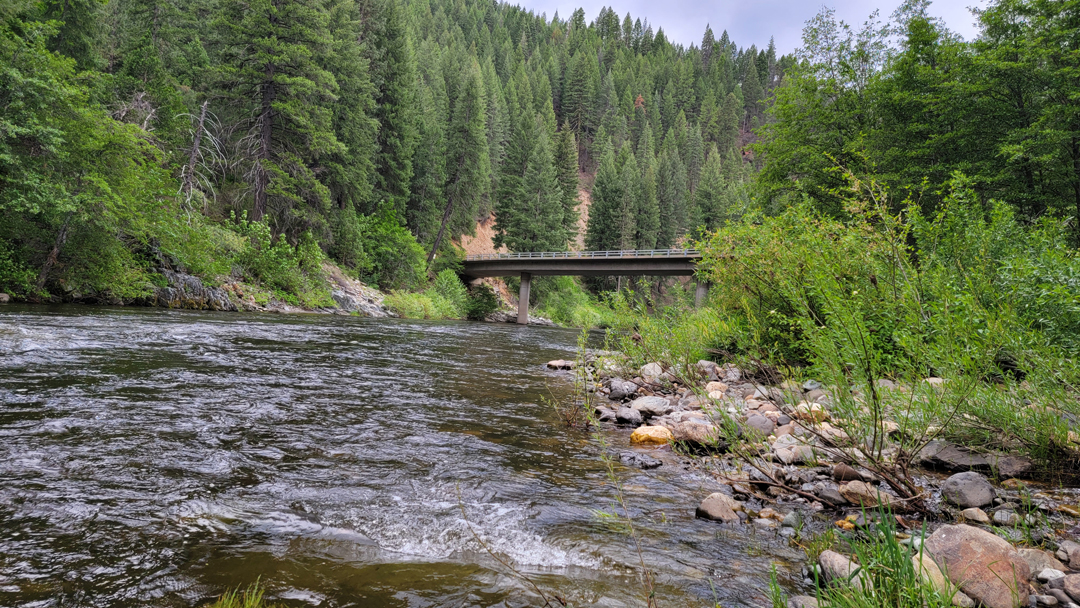
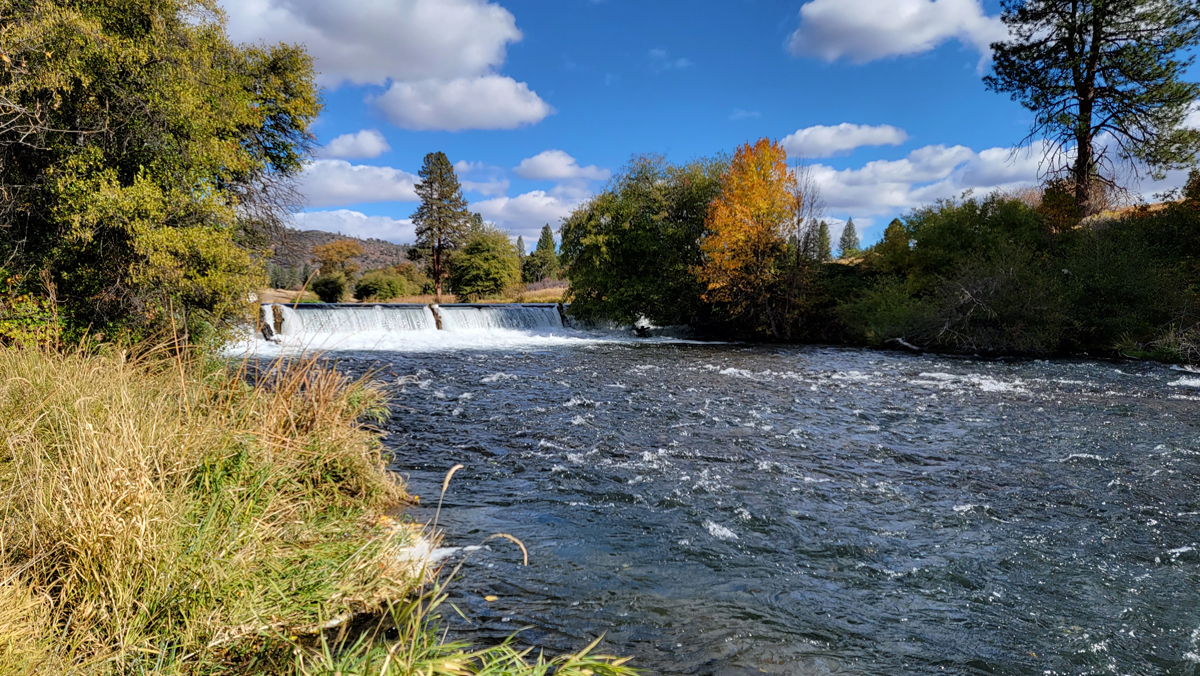
After I parked the car I started eating my breakfast and walked around the area to scout it out. The first thing I noticed below the bridge was how dirty the Upper Kern looked. The deep pool below the bridge was absolute chocolate. I had thoroughly researched and read reports about the Upper Kern before heading out and was blindsided. I kept positive vibes since in my experience water clarity isn’t as much of an issue as high lows and the flows on the Upper Kern were perfect 140 CFS above Fairview Dam. Another issue I ran into was that the stairs to the trail were legally closed due what looked like poor maintenance of the stairs themselves. I decided to be a good boy and not cross the chains instead looking for a way to cross from the opposite side of the river. I finished my breakfast, strapped on my backpack, and started the trek up.

I bushwhacked, climbed, and pushed my way about 200 yards through the canyon until I was finally able to find a crossing point above a tail-out. I decided to take a break and fish what looked like decent pocket water. I rigged on a black stonefly and dark lord pattern to try and combat the murky water. I fished for about 15 minutes with no grabs. I was feeling a bit discouraged and made my way back to my pack to head further upstream. As I scrambled my way up to get to the trial I got my rod caught on a branch and lo and behold it snaps. My trip was now officially ruined.

A blown out river and now a broken fly rod. I’ve learned that my brain works amazingly fast at problem solving and I decided to take a visit to the local fly shop to find a replacement rod and get some intel. The Kernville Fly Shop was about 30 minutes away from Johnsondale Bridge. The fly shop was on the smaller side with a limited rod selection but like all fly shops felt like home base all the same. I had to replace a 3WT but wanted something in the 8′ range whereas I already had a 7’6″ and a 10′. All I could find was an 11′ rod. Desperate to get into some fish after driving all that way I paid the $350 price tag without hesitation. As I was checking out I asked the lovely fly shop lady about the clarity of the Upper Kern. She pulled her phone out and found a video of Peppermint Falls churning out water as black as crude oil. She told me and another customer who was listening that the Upper Kern blew out August 5th. Two years worth of ash and fire debris were unleased into the Upper Kern and even after a month the river was still had not cleared. What the hell was I doing here?

On the way back up Johnsondale Bridge I tried to figure out my options. If the Peppermint Falls was where the black water was coming from could the water be clearer above that? I knew my plans to make it into the backcountry were over so I tried to figure out what I could do to salvage my trip. My new plan was to hike and fish Forks of the Kern and then possibly head to Mammoth and fish the Upper Owens.

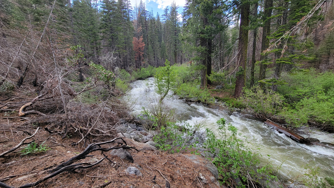
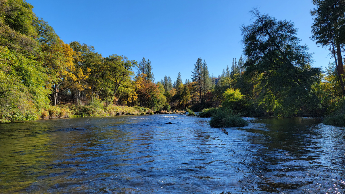
The drive from Johnsondale Bridge to the Forks of the Kern trailhead takes about one hour. The fire damage from Castle Fire in 2020 and Windy Fire from 2021 were very apparent as you wind up the hill to the trailhead. I wonder what these mountains looked like before the fire. The devastation was heartbreaking but there was some comfort in knowing that the fires were caused naturally by lightning (if that counts for anything).

I arrived at the Fork of the Kern trailhead at about 1pm. The trail takes about an hour to get down and more than twice that to get up. The elevation difference is about 1000ft in 2.2 miles. To the inexperienced that don’t know how it feels to go up a 1000ft in 2 miles let me just warn you it’s a super ass kicker. On the way down I spoke to some folks that had just finished fishing and the intel was good. It was reported that the Little Kern had some mud coming out of it but the Kern was clear. I made it down to the forks in about 50 minutes, rigged my 11ft 3wt, and immediately started fishing.

The Little Kern was the first stream that I made contact with and the clarity wasn’t great. There were clearer bits of water around the riffles however the pools were completely brown. I started with a dry fly and rose a fish but missed the hook set. As I made my way further downstream and arrived at the forks I could see the difference between the clarity of the two streams. The Kern was looking great and I knew that that would be the best stream to put my time into. As I was attempting to cross the stream I stopped to put by keys and wallet into my pack and got hit with Murphy’s Law again; I dropped my wallet into the river. My heart sank. I just wanted to break down and cry.

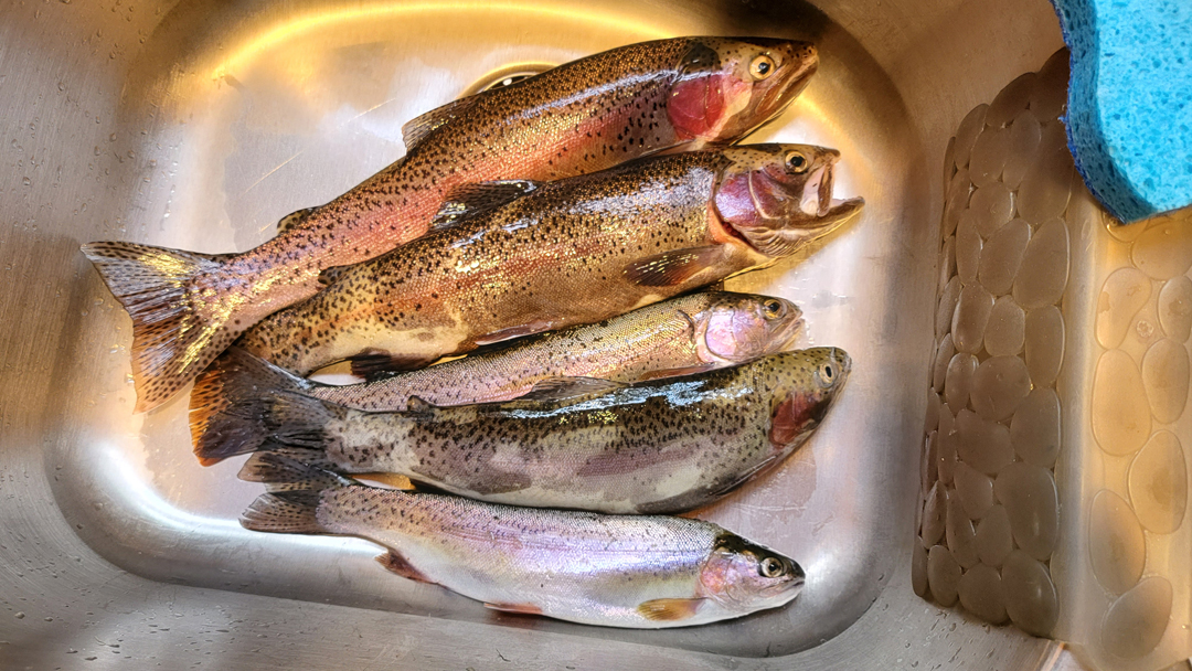
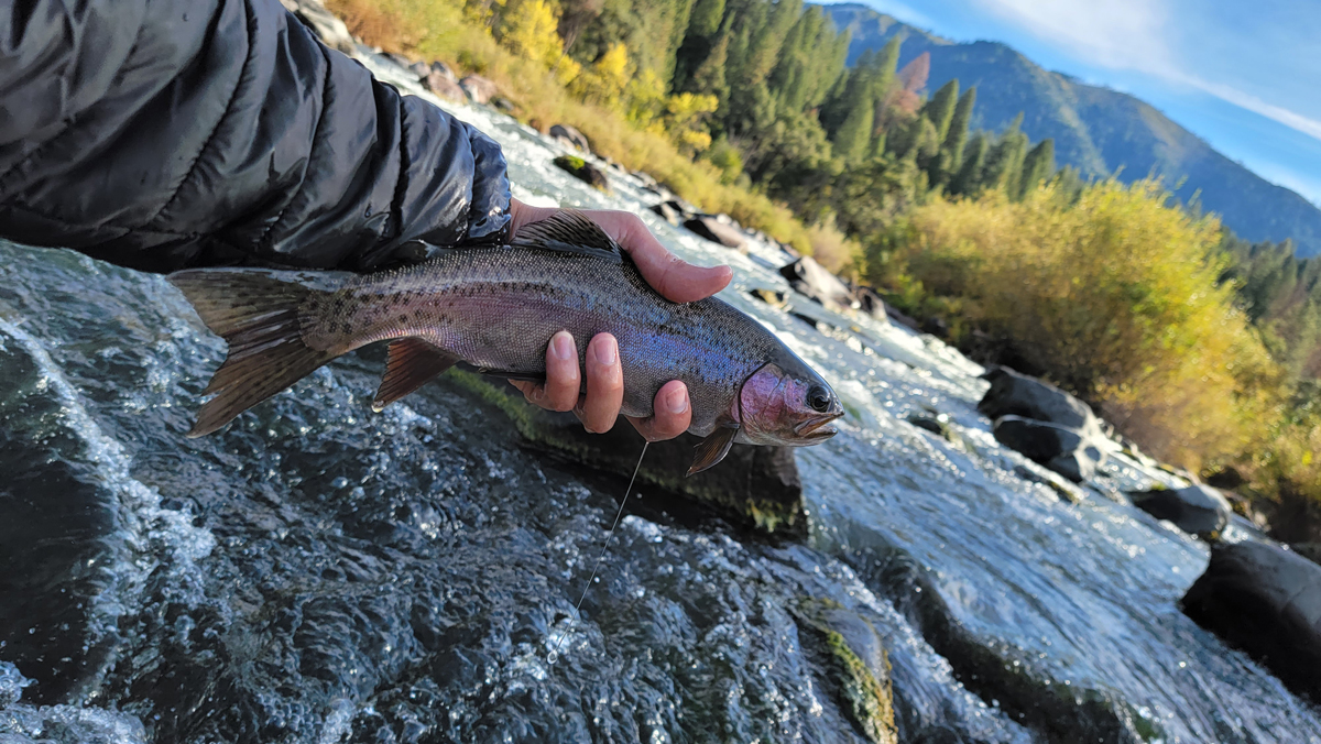
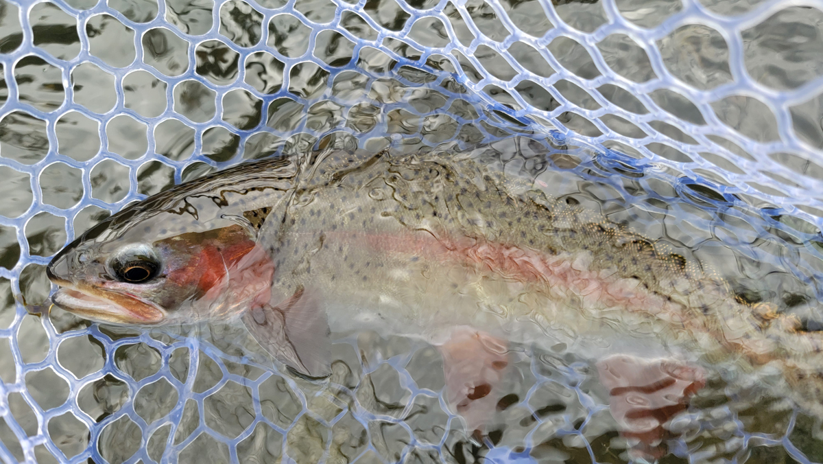
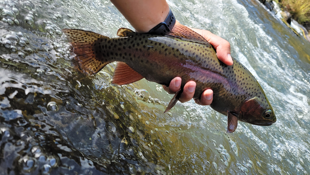
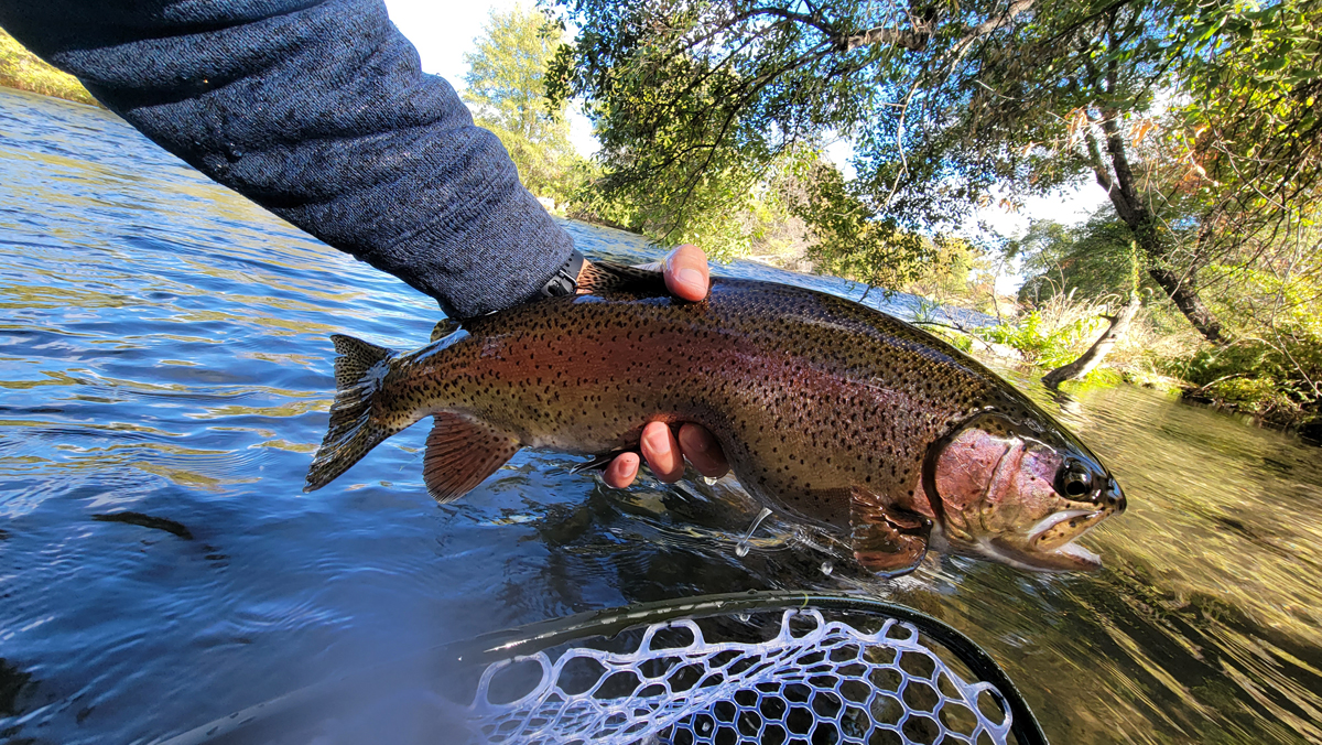
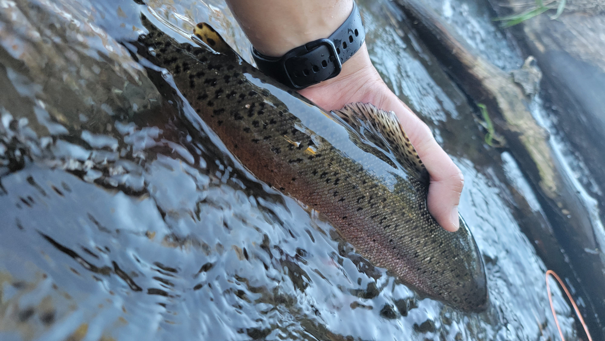
I spent 10 more minutes, caught a few more Kern River Rainbows, and bailed. I left the forks at around 4pm to make sure I had enough time to get back before the sunset over the mountains. On the way up I noticed that I was running out of water. Anything that can go wrong will go wrong and now I was going to die. As I struggled up the hill I made it about 3/4th of the way up before finally running out of water. All I had left was 1/2 a mile and a 200ft ascent. It was extremely difficult but I made it to my car 25 minutes later and chugged a whole bottle of water. With no ID or money I had no choice but to head home. Luckily I still had my phone and was able to use Google Pay to grab some gas for the trip home. It was going to be a grueling 6 hour drive but I was focused on making it home safe. Thankfully my bad luck took a break that evening and I made it home without any issues.

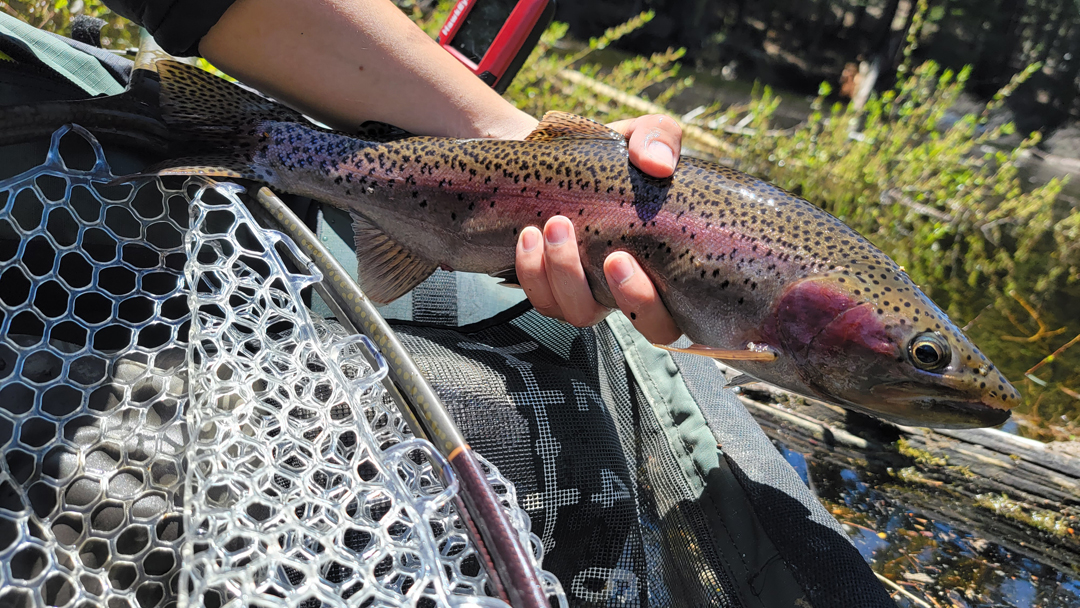
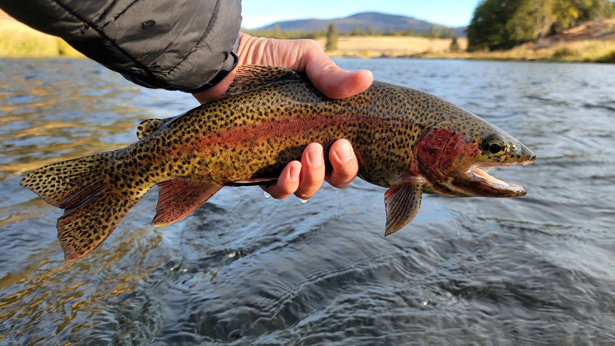
This trip is officially one of the worst fishing outings that I’ve ever had. In hindsight I should have just stayed at the Forks of the Kern. A permit is required for Golden Trout Wilderness which was the Little Kern and Kern above the forks however below that is Sequoia National Forest which does not require a permit. I learned of this a few days afterwards while looking at a map. All in all I was finally able to catch a Kern River Rainbow trout but at a tremendous cost.

Yuba River

Homeward Bound From The Lower Yuba River

I’ve been fishing the Lower Yuba River for several years now and have explored the majority of the river below HWY 20 bridge to Sycamore Ranch. The water below Sycamore Ranch has always interested me however exploring it would prove to be difficult on foot. All the years spent on the Yuba left me wondering what the rest of the river looked like and how it fished.

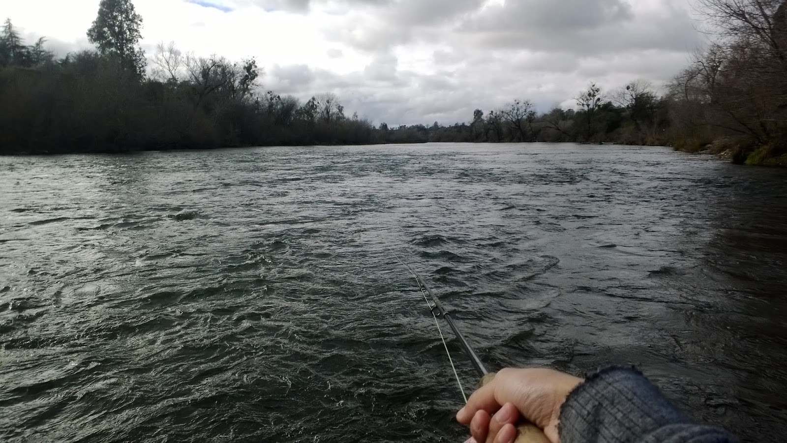
Last year I bought a packraft and was finally explore and fish the 2 mile section below Sycamore Ranch. This section appears to be less pressured as most boats take out at Sycamore Ranch and walk-in anglers have to hike a ways back, if they can at first cross the river, to return to their vehicle. Daguerre Dam, an outdated low head dam constructed in 1906, separates the last 10 miles of the Yuba where it meets the Feather River between Yuba City and Marysville. The water below Daguerre Dam is well-known to have runs of striped bass and shad during the late spring and summer. Although I was late to the anadromous party it was never too late to explore the rest of the Yuba. My plan was to float from Sycamore Ranch, portage around Daguerre Dam, and drift all the way down to Mosquito Beach where home is only about 5 minutes away.

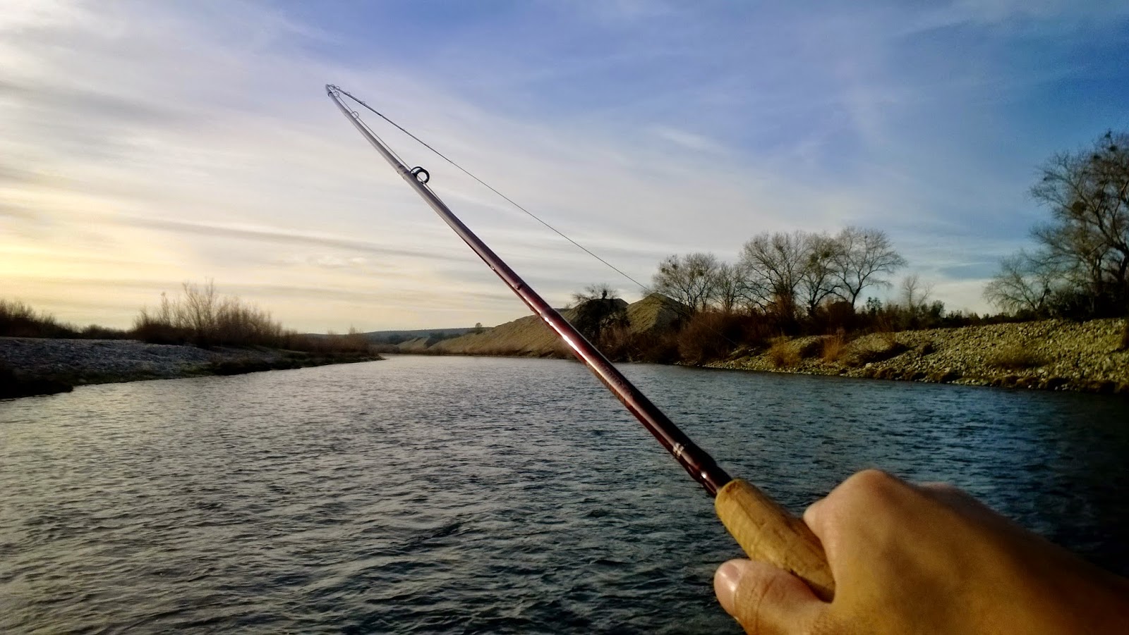
I calculated that the float would take me about 8 hours; about 5 hours to float and 3 hours to fish. I was mainly going to be targeting striped bass but downsized my streamer in hopes of enticing trout. I used my 8wt Echo Blue Boost with a Scientific Angler Sonar Line rigged with a small sculpin pattern for this trip.

I started the float at around 930am which was a lot later than I had originally planned. I quickly floated down to Daguerre Dam to make up for time and portaged below the dam for the first time. The water below the dam looked fishy but it’s illegal to fish 250ft below it. Low head dams are also one of the most deadliest structures that can be found on rivers as they create a powerful circulation of water that is next to impossible to get out of once caught in. There are several signs as you approach the dam warning you of the dangers that lurks a few hundred feet below. At the final sign the portage around the dam can be found river left.

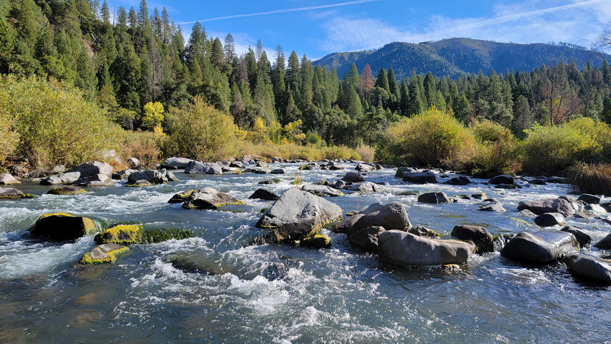
I continued to make my way downstream and fished spots that I had marked previous that looked fishy. After a few spots I hooked my first fish and it felt like a good one. I was expecting the fish to be either be a pike minnow or trout considering how far upstream I was. Once I finally landed it I was surprised to find that it was a decent sized striper. My first Yuba River striper.

I hit a several more spots but didn’t get a single grab. The fish I observed were Sacramento sucker, pike minnow, and striped bass and I believe I may have also seen a pod of salmon that were making their way upstream. Overall I feel like the river was pretty barren fish density wise. It seems like the Yuba River is a restrict anadromous river with the exception of the famous resident rainbow trout population below Lake Englebright.

After about 9 hours of rafting and fishing I had floated about 10 miles to Marysville. My arms were dead. I had about 30 minutes left of daylight and decided to call in quits below the Shad Pad near HWY 70. At 730pm I phoned in my ride and made it home safe and sound.

This float was a fun experience and now I can officially say that I’ve explored and fished about 80% of the Lower Yuba. It wasn’t a tough float but definitely a long one. I plan on doing this float again in the summer when the shad and stripers are in to hopefully catch my first Yuba shad.

1 5 6 7 8 9 168