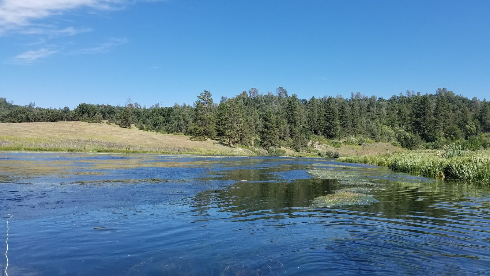
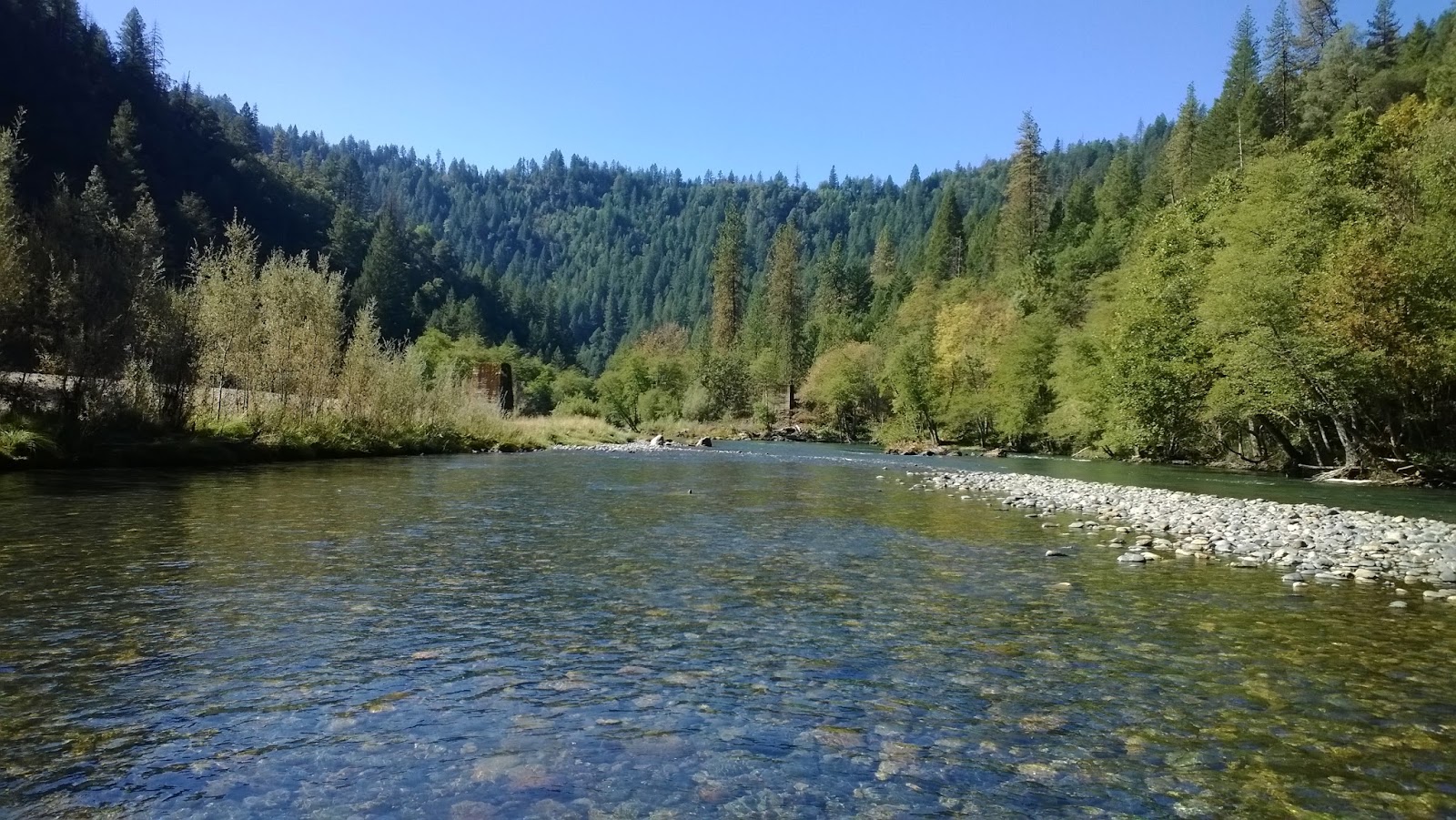
Yuba River

Yubageddon

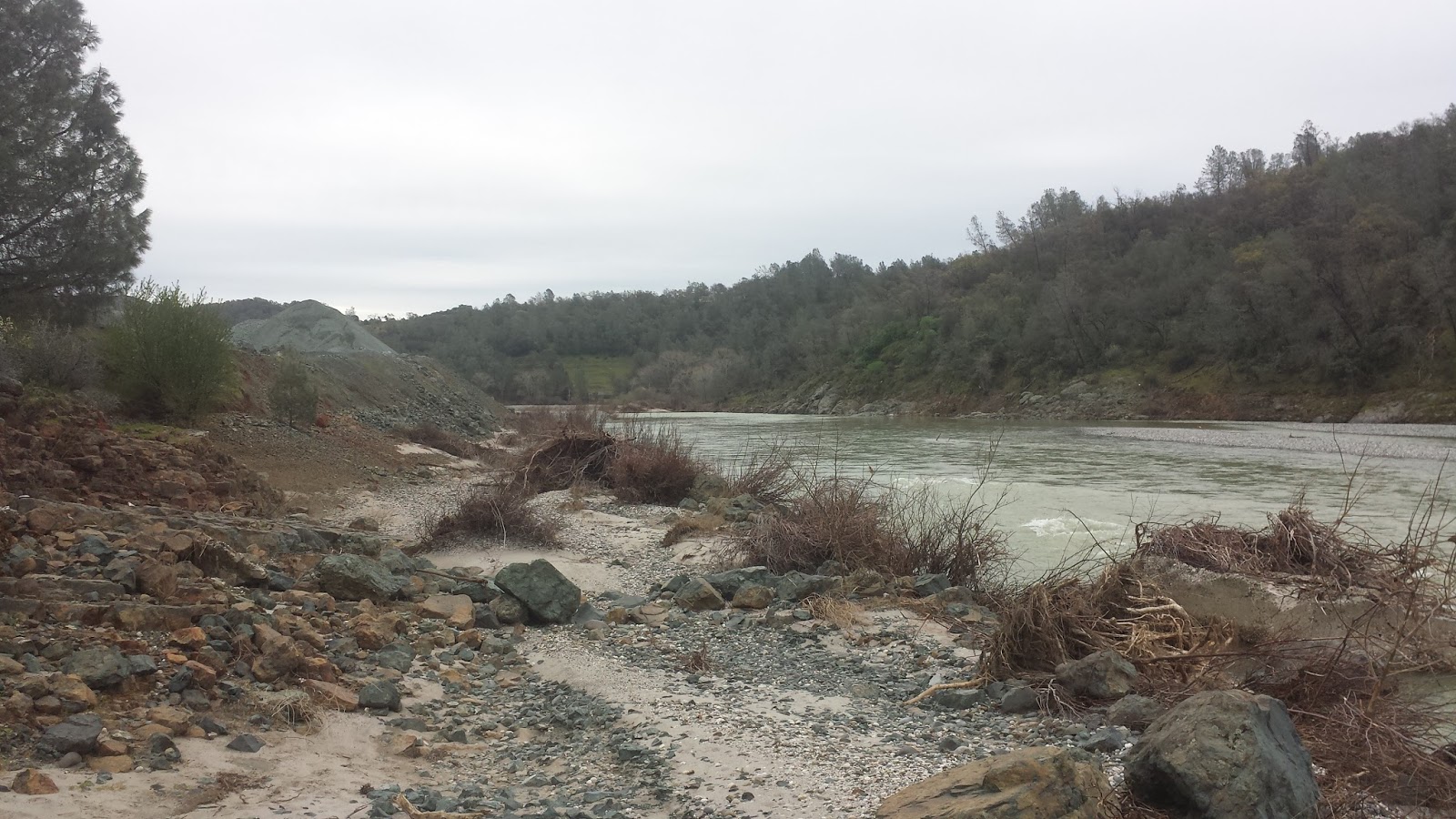
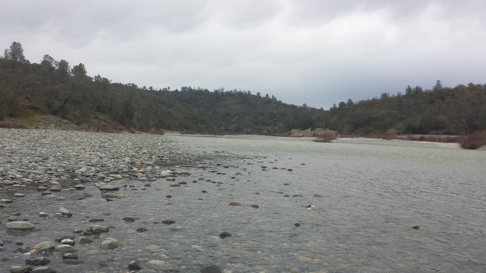
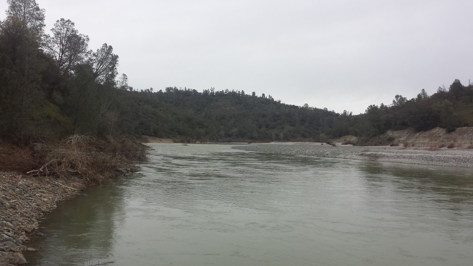
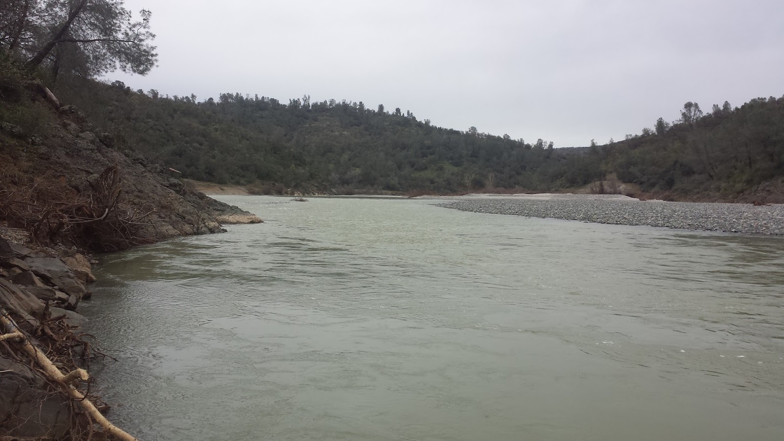
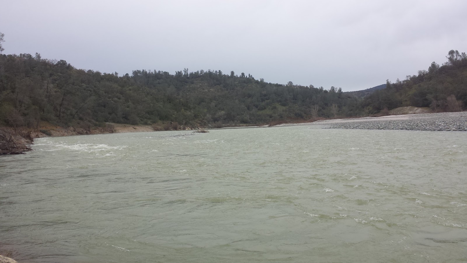
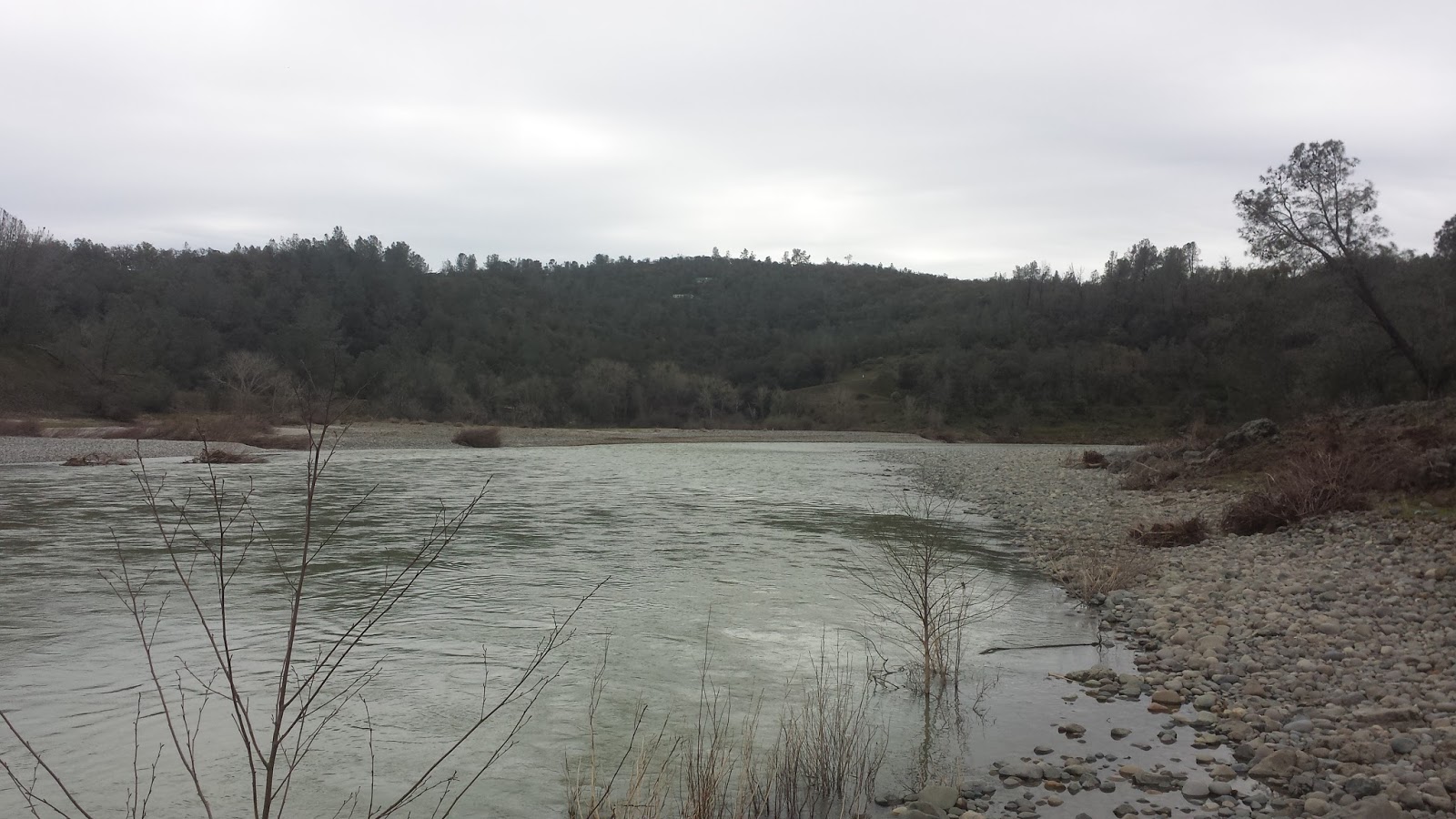
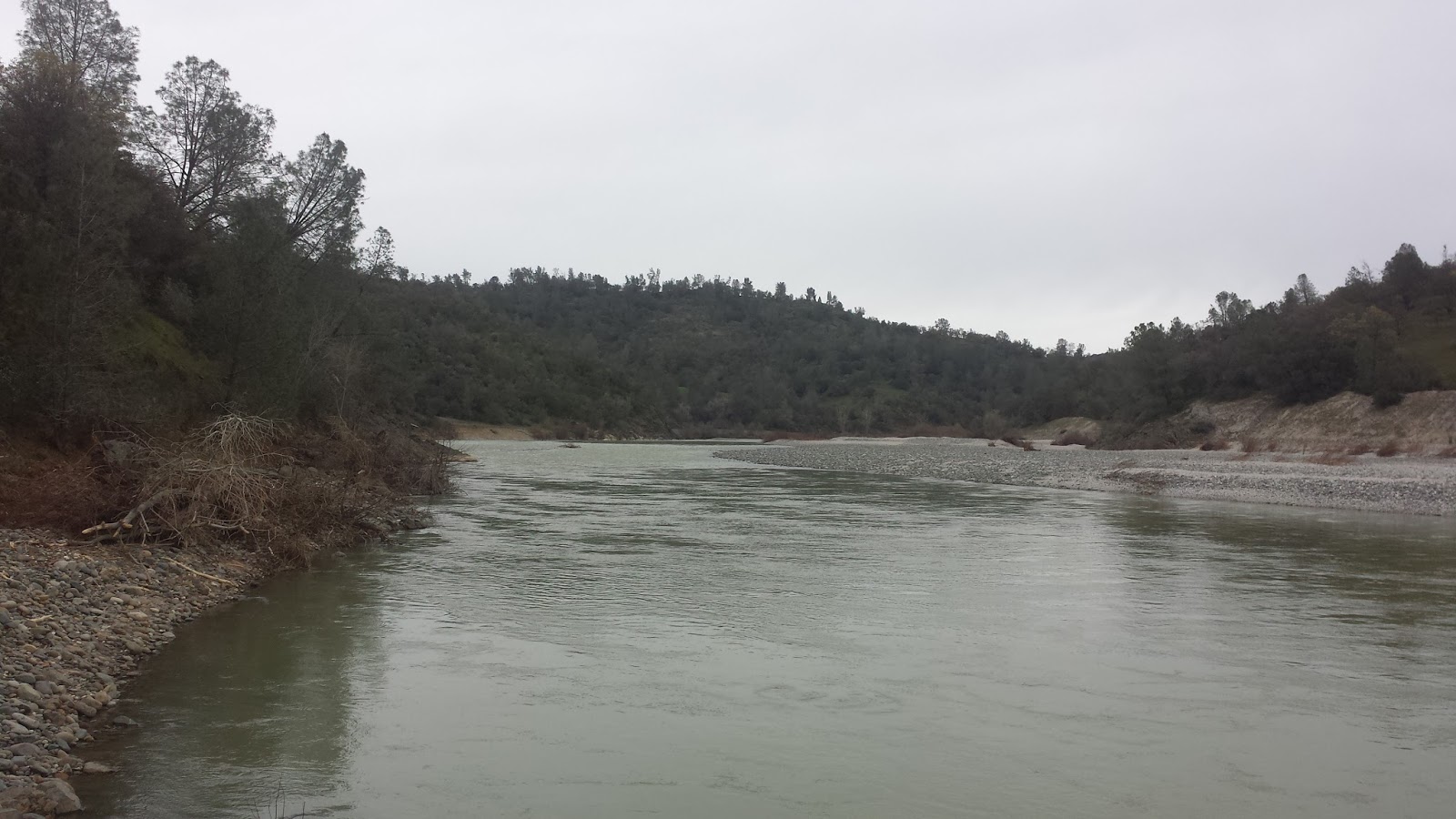
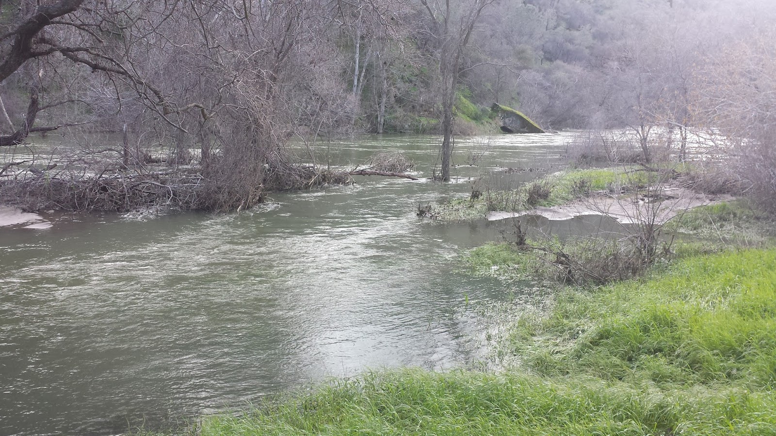
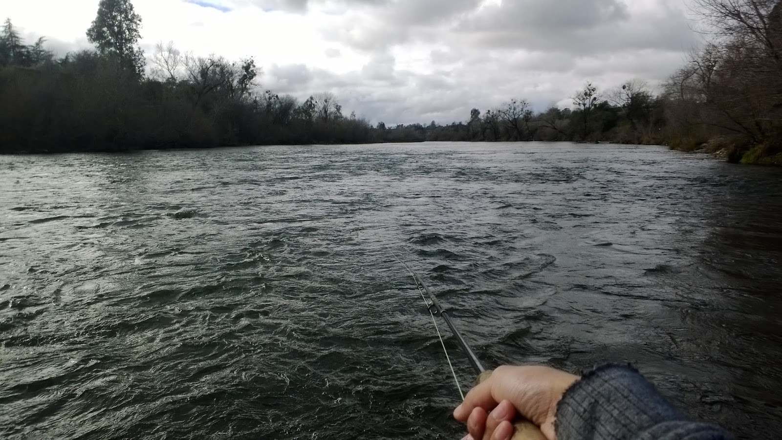
The Yuba has been flowing at a stable 3,600 CFS for a few days now so with rod in hand I decided to check it out and try my luck. For those curious about the what the river looks like I can confirm that the Yuba has completely changed but is it for the better or the worst?

The key changes I noticed were:

1. The majority of the willows along the bank have been ripped out and washed away.
2. The river above HWY 20 bridge has pushed itself closer to the bank of the public access.
3. A lot of cobblestone and sand movement.
4. No insect life observed.

With two megaflows above 65,000+ CFS the Yuba has been washed into the the Pre-Cambrian era. Needless to say I didn’t catch anything but I did see an osprey carrying a branch to make it’s nest and a tail splashing beaver.
Although I haven’t been fly fishing long enough to track the Yuba’s cycle, I can already tell that it’s going to be a long time before it begins fishing well again. The Yuba River as you knew it is now gone but like a rising phoenix the Yuba will slowly come back to life one insect at a time.
Until then it’ll be best to focus our art elsewhere.

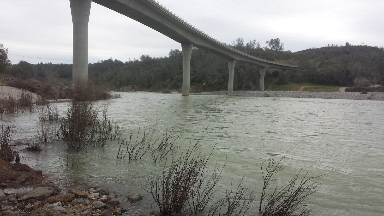
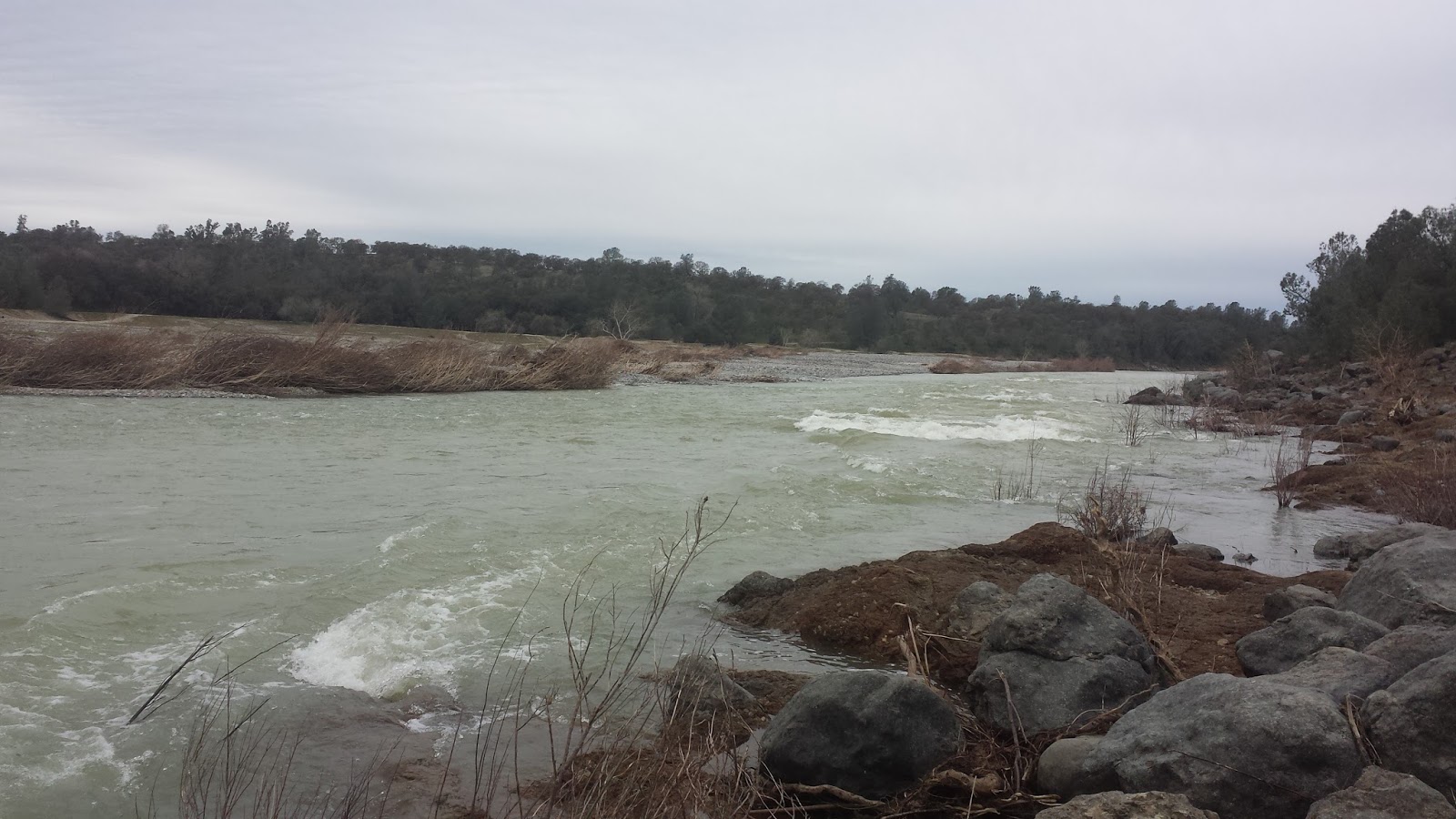
Here are a few pictures of the river:

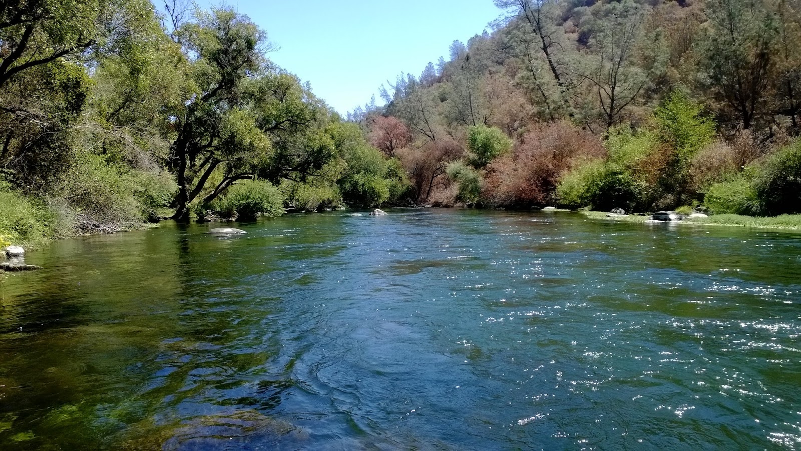
Notice the width and the depth of this section.
The river below the bridge remains relatively similar.
Above the bridge. The willow jungle is gone.
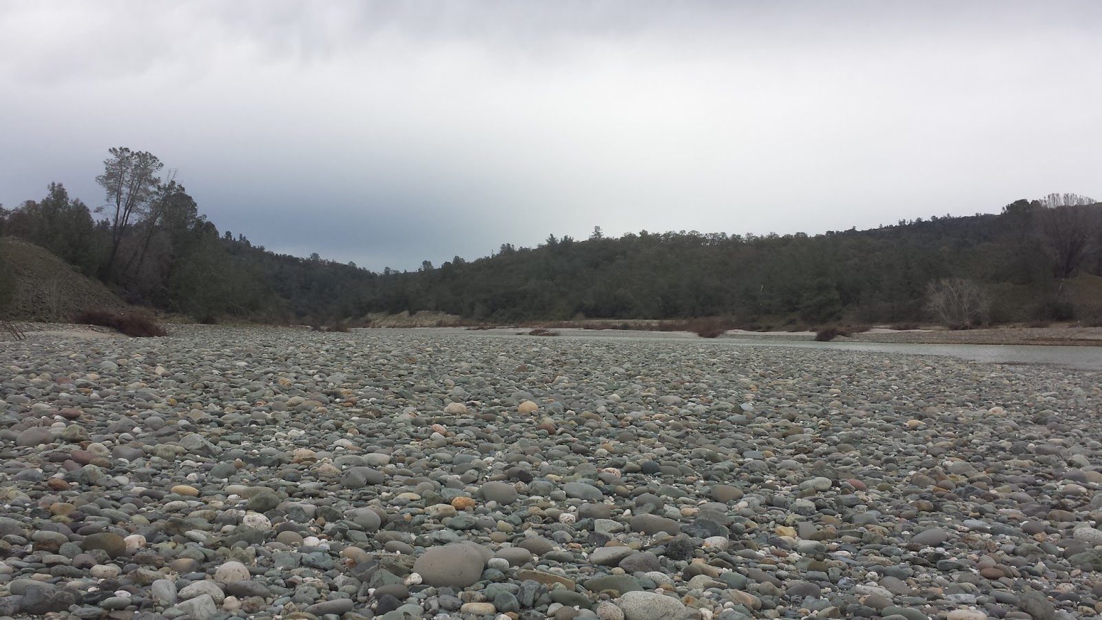
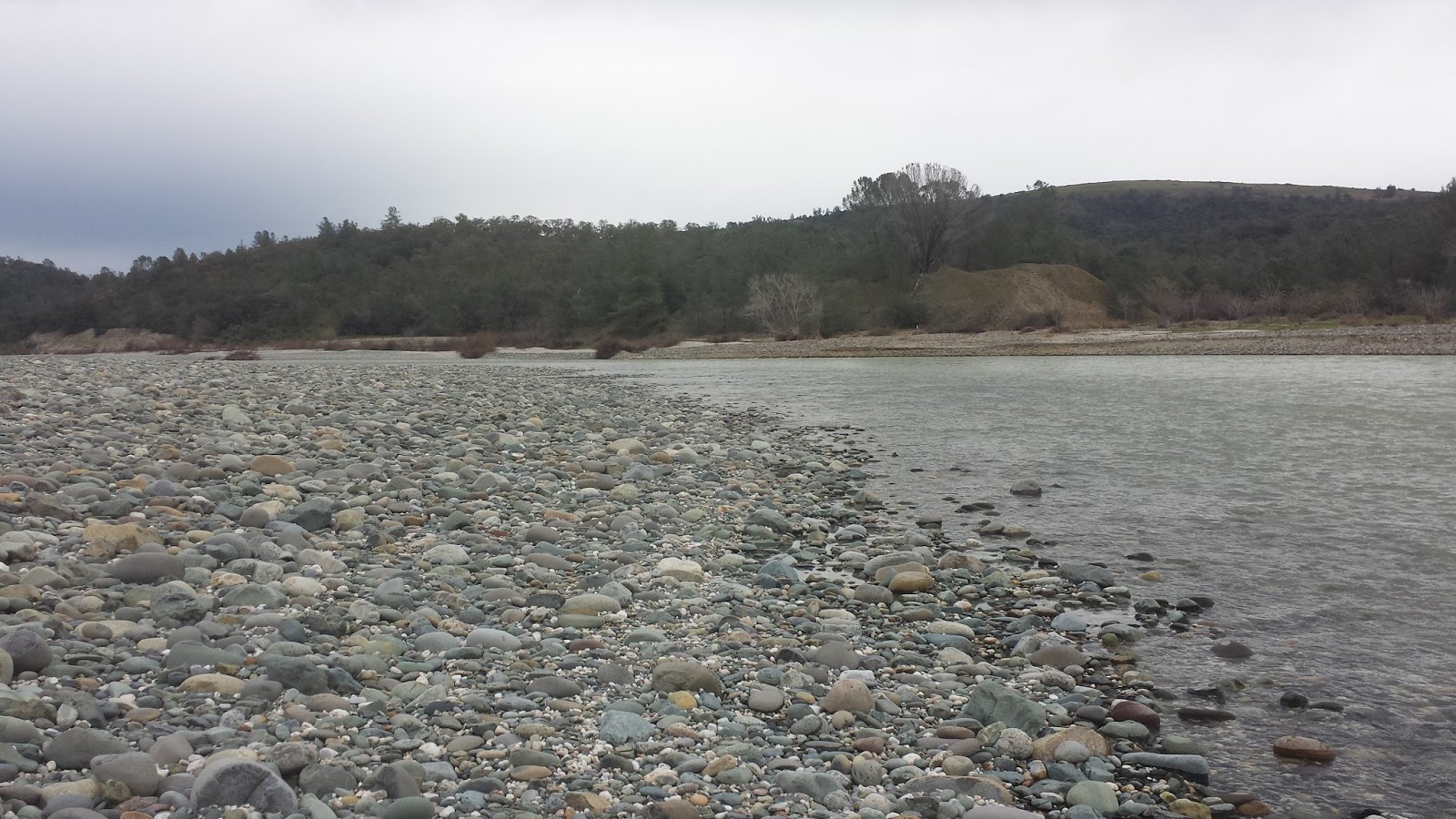
At the bend above the bridge. Completely flatten.
The bend is now a long shallow riffle.
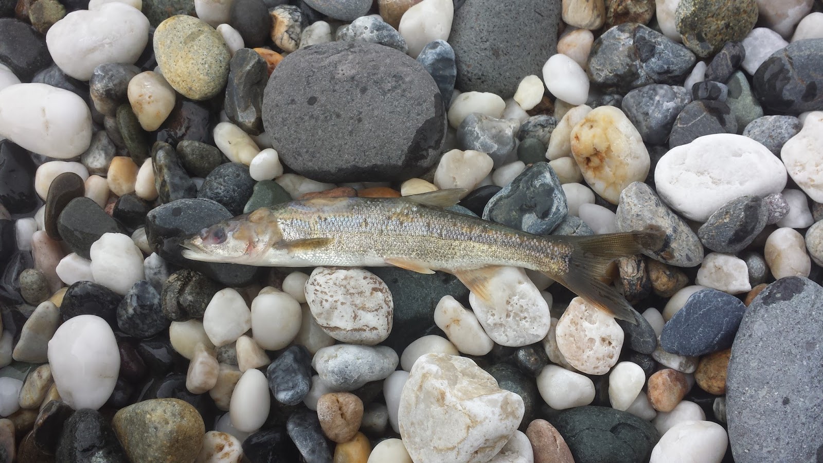
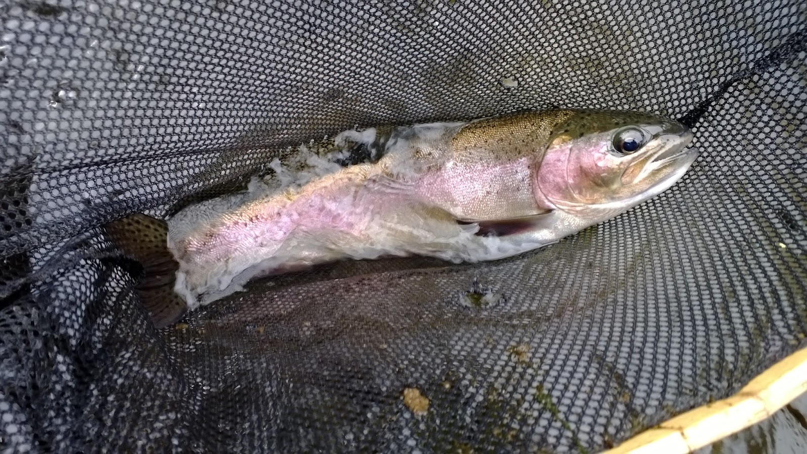
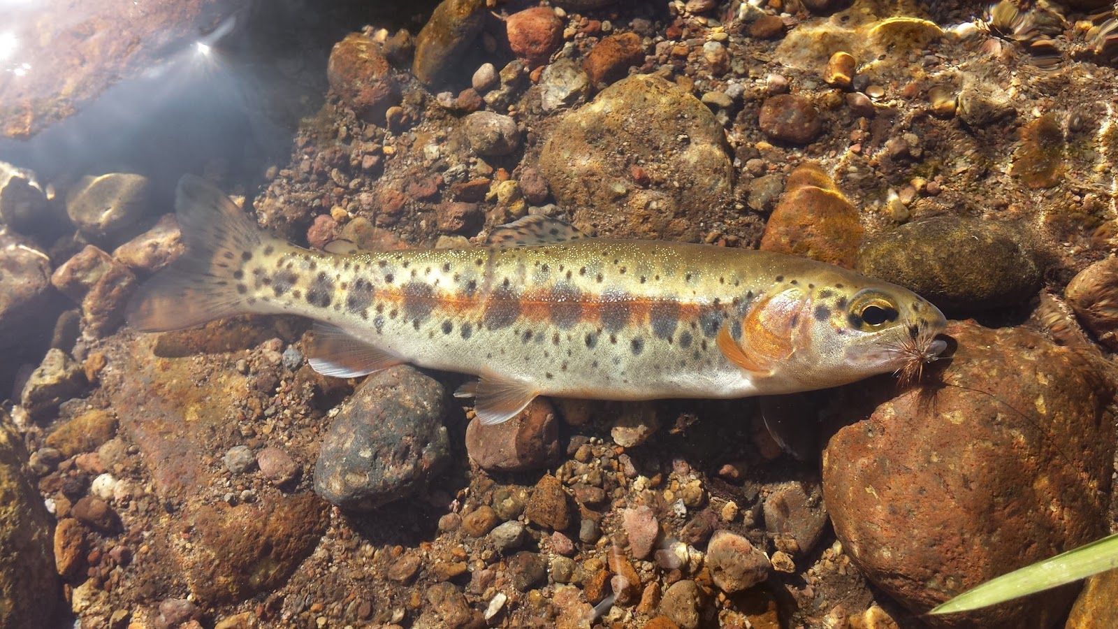
I netted this small pikeminnow. Looks like it didn’t survive the big bang.
The run above the bend. No more side channel on the private access. Notice the river has shifted towards the left bank.
Further upstream. A completely new area. At these flows looks deep and difficult to access.
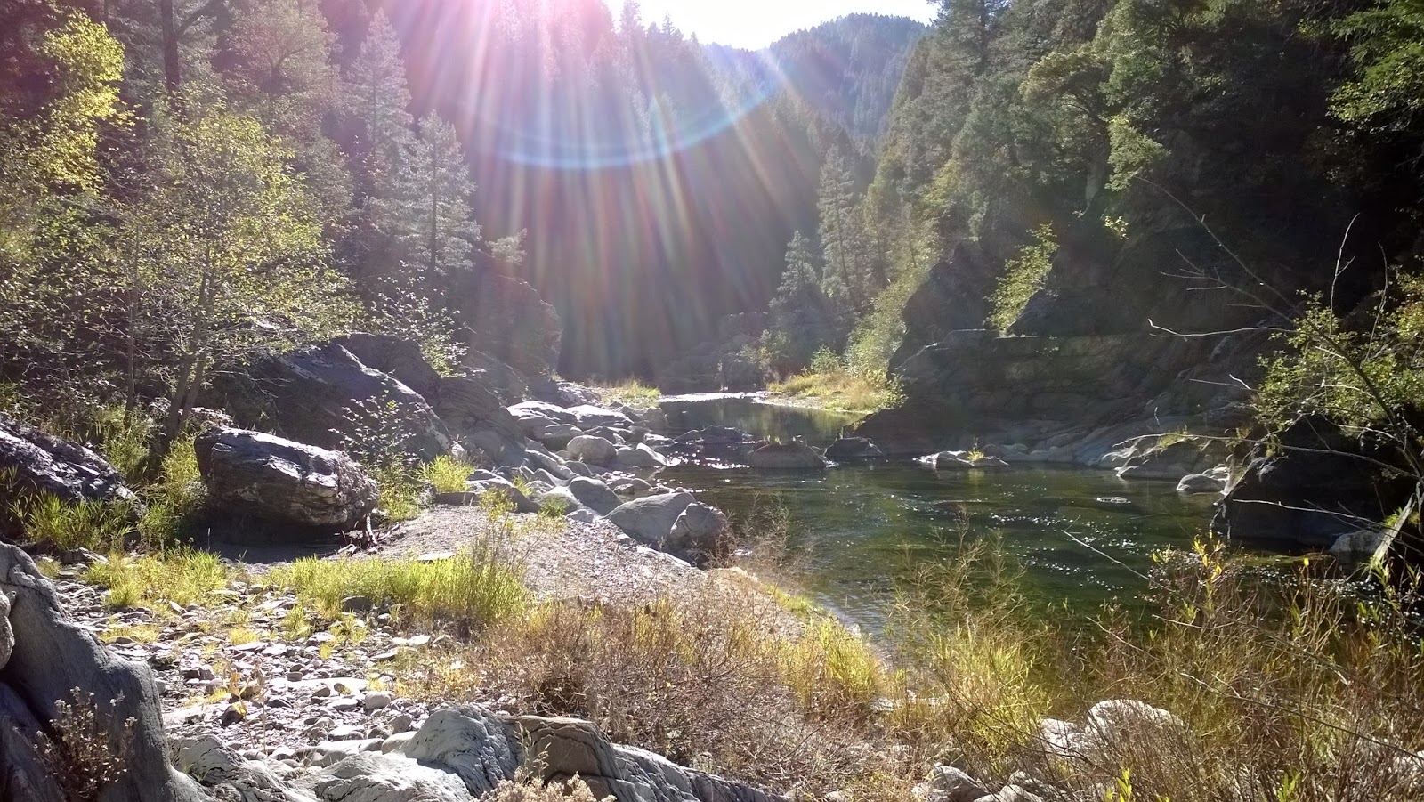
A little further upstream. Recognize that rock formation on the left? It’s now part of the river.
Further upstream past the rock formation. A whole new river. Notice that the cliff bend is still a ways ahead.
Looking downstream towards the bend.
Putah Creek

Glory Glory Holelujah!

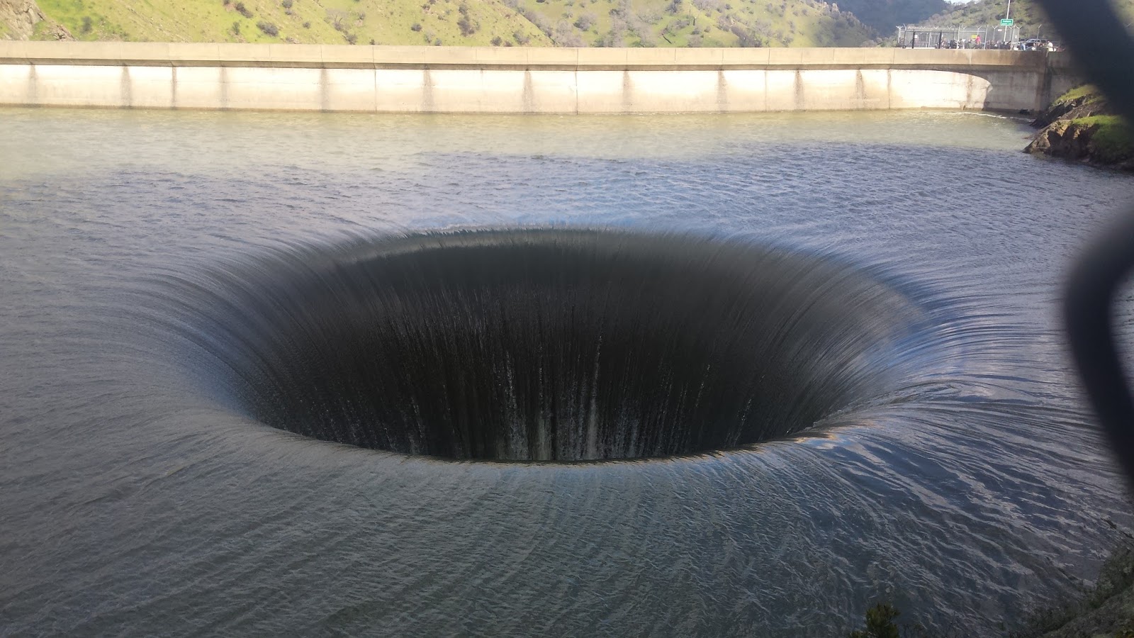
It’s hard to believe that it’s been over 10 years since the last time water flowed over Lake Berryessa’s glory hole. This spectacle only happens a few times in a century so once good news got out that the hole was flowing the missus and I made the trip to check it out.

The last time I curiously drove up Putah Creek to take a look at the lake the infamous glory hole was about 40ft below it. Now that the lake is filled up from all the rain we’ve gotten in the past few months water is finally flowing Lake Berryessa down the glory hole and into Putah Creek.

Pictures and videos don’t do the glory hole justice. The mesmerizing funnel of water that flows down the hole is much wider and closer to view that I had anticipated. Lake Berryessa’s glory hole is truly a marvel to check out if you ever have the opportunity. Just be sure to anticipate and be mindful of the large crowds along HWY 128.

Despite flows over 4,000 CFS, I saw a few anglers trying their luck at Putah Creek. The majority of the trails along the creek are flooded so access is extremely limited until they go down. There were a few nice seams that I found while hiking around but I wouldn’t risk fishing them knowing how deceptively deep the creek is.

While hiking around the Cold Creek area we were lucky enough to spot a few spawners performing their mating ritual. I was very excited to see big Putah natives chasing each other up and downstream. It’s been a few months since I’ve last fished the creek but it’s good to know that these fish are doing well. It’ll be a few weeks until the creek is fishable but this trip has made me appreciate Putah creek a whole lot more.

On the way home we stopped at Lake Solano to scout it out. The park is well-maintained and looks like a great place for a summer outing. I’ve also heard and read that the lake produces big fish during that time as well. Once the flows get cranked up and the weather gets hot I know where I’m going…
1 50 51 52 53 54 150